Skills
Education
Master of Science in Geoinformatics
Aalto University
Finland
Bachelor of Geoinformatics Engineering
National University of Sciences and Technology (NUST)
Pakistan
I am a Machine Learning Engineer and Full Stack Developer with a Master's degree in Geoinformatics from Aalto University.
My work combines AI, Computer Vision, GIS, BIM and cloud technologies to build production-ready software.
I enjoy taking ideas from research into scalable products by building machine learning pipelines, cloud infrastructure and modern web applications.
Jul 2024 - Present · Helsinki, Uusimaa, Finland · Hybrid
Machine Learning Engineer
Make a BIM · Full-time
Joined Make a BIM during its early growth phase and helped build the company's technology stack end to end, from its first Next.js and React web application to a redesigned second-generation platform with authentication, user management, and payment integration. On the machine learning side, I designed and owned the complete pipeline — data preparation, augmentation, training, evaluation, and deployment — shipping over 20 production instance segmentation model releases that lifted performance to 74% and improved raster-to-vector floor plan conversion accuracy by roughly 40%. I also optimized backend processing pipelines for up to a 4x speedup, architected the production database and Google Cloud infrastructure, including virtual machines, Artifact Registry, Docker, and background workers, and automated CI/CD through GitLab. Throughout, I worked closely with architects, product stakeholders, and engineers to turn research prototypes into reliable, production-ready AI solutions.
Jan 2023 - Jul 2023 · Islamabad, Pakistan · On-site
Full Stack Developer
Fornax Technologies · Full-time
As technical lead for a four-person engineering team, I owned delivery from client requirements through production launch at Fornax Technologies. I served as the primary technical point of contact for clients, translating business needs into actionable specifications and shepherding more than 10 full-lifecycle projects from concept to deployment. Alongside leading the team, I contributed directly to both frontend and backend development to unblock engineers, resolve tricky technical issues, and keep delivery timelines on track. I also established the company's first formal code review process and development guidelines, raising code quality, system performance, and long-term maintainability across every project the team shipped.
Jun 2022 - Dec 2022 · Remote
Python Developer
MARKT-PILOT · Part-time
As a remote Python developer for MARKT-PILOT, I built and maintained large-scale web scraping and ETL infrastructure to keep product data current in real time. I authored more than 100 scrapers pulling data from a wide range of sources to enrich product listings, and optimized the underlying ETL pipeline for faster, more accurate downstream analysis. Alongside the engineering work, I documented the scraping tools and data workflows in detail, making the system easier for the wider team to use, extend, and maintain.
Jan 2021 - May 2022 · Islamabad, Pakistan · Hybrid
Full-Stack & Geospatial Software Engineer
Horizon Technology · Full-time
At Horizon Technology I built a high-value defense insights dashboard from the ground up, combining full-stack engineering with geospatial analytics for real-time monitoring of warships and ground radar via satellite imagery. I sourced open-source satellite imagery to train, test, and evaluate several computer vision models for object classification, then wrote the custom inference scripts that integrated them directly into the web application. I developed and optimized scalable data processing pipelines to clean, analyze, and visualize high-resolution spatial and radar datasets for over 10,000 daily active users, and built Land Use / Land Cover classification tools that paired modern web frameworks with GIS software for complex satellite and vector data. Throughout, I worked in a cross-functional engineering team following Git-based workflows, participating in code reviews, sprint planning, and large-scale feature deployments.
May 2020 - Aug 2020 · Islamabad, Pakistan · On-site
GIS & Remote Sensing Intern
National Disaster Management Authority (NDMA) Pakistan · Internship
During my internship with Pakistan's National Disaster Management Authority, I applied satellite remote sensing to nationwide flood monitoring and disaster response. I processed and analyzed multi-temporal satellite imagery to map and monitor flood extent and its spatial progression across the country, producing high-resolution flood maps and historical pattern assessments that supported rapid response, risk reduction, and mitigation planning. I also ingested, cleaned, and integrated optical and SAR imagery into disaster management workflows, improving automated water body extraction and inundation analysis for the wider team.
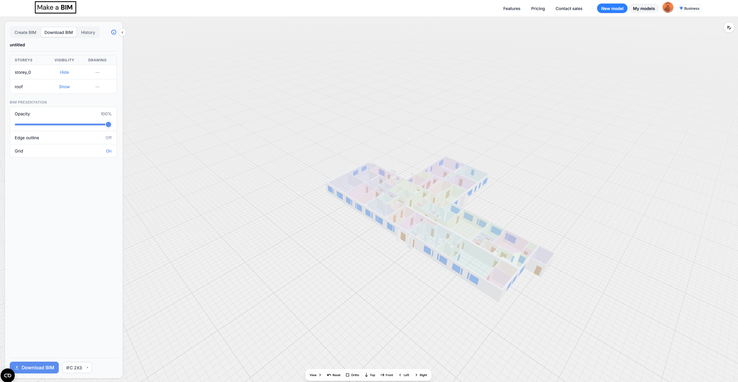
Make a BIM — Drawing to BIM Platform
AI-based SaaS that converts orthographic floorplan drawings into 3D BIM models.
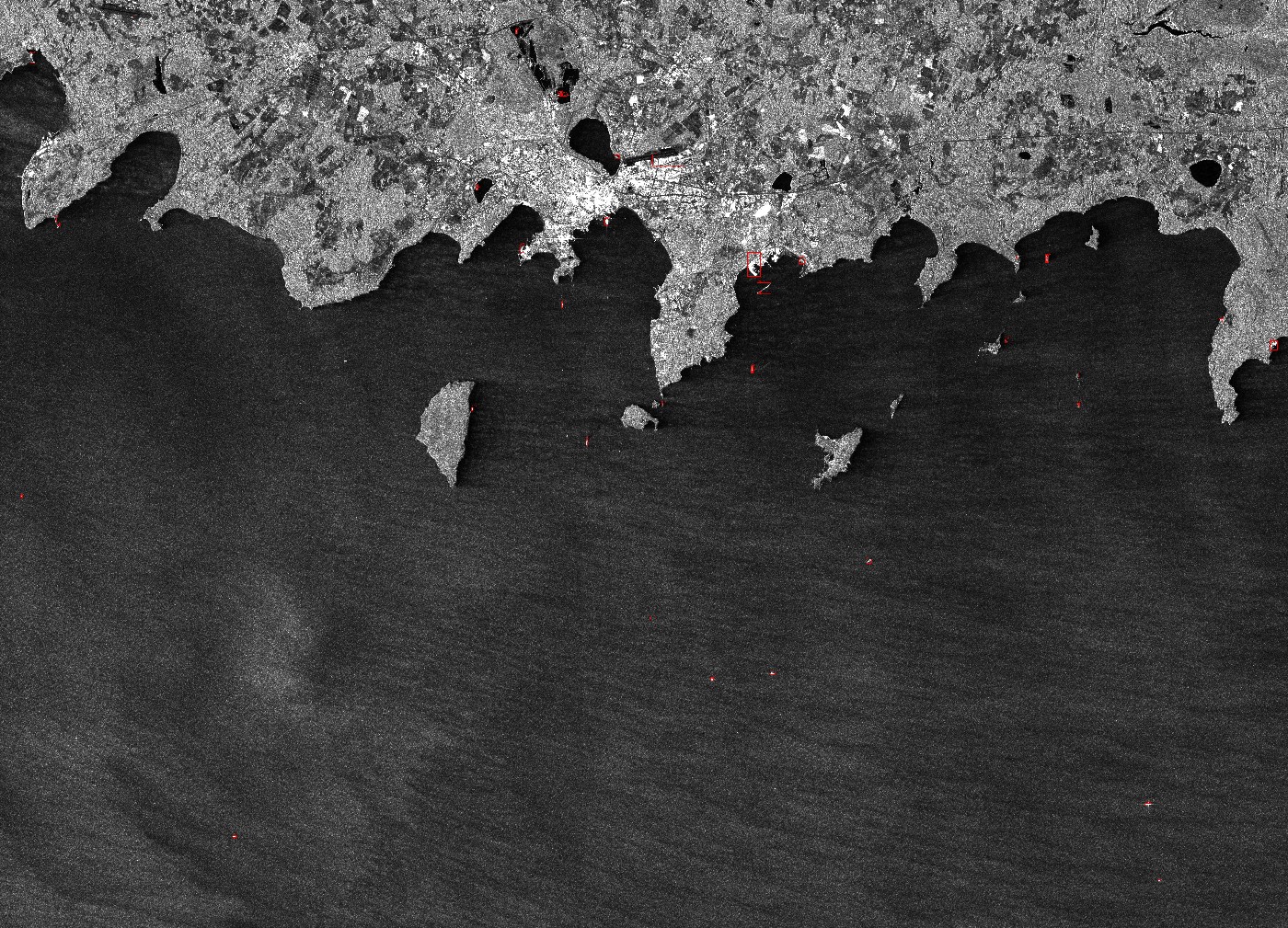
SAR Ship Detection: RetinaNet vs YOLO11s vs RF-DETR Benchmark
A from-scratch RetinaNet, a fine-tuned YOLO11s, and a fine-tuned RF-DETR-Small, benchmarked on HRSID SAR ship detection with one shared, pycocotools-validated mAP implementation.
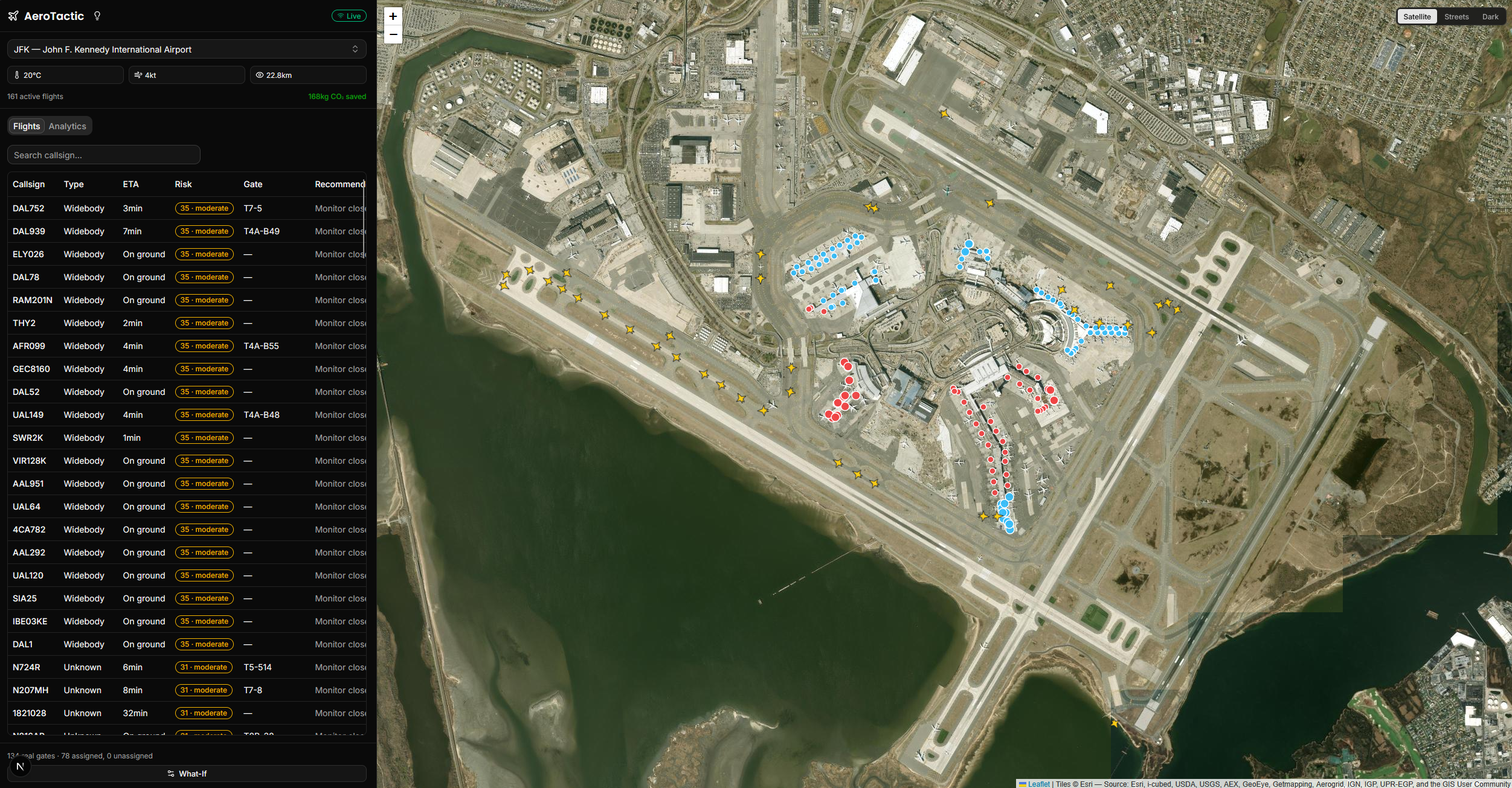
AeroTactic — Airport Turnaround & Gate Ops
Real-time airport operations dashboard covering 4,500+ airports, running an in-browser gate-assignment optimizer with zero backend.
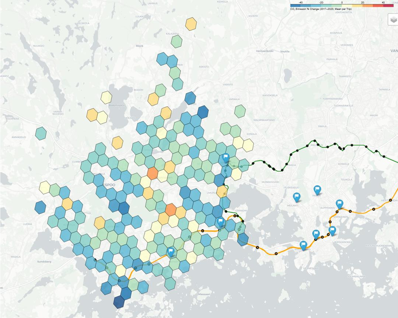
Comparative Analysis of Public Transport Carbon Emissions in the Helsinki Region (2017–2023)
Master's thesis analyzing changes in public-transport-related carbon emissions in the Helsinki region using GIS-based routing and emissions modelling.
Cartography & Map Visualizations
A personal collection of cartographic maps and geospatial visualizations, from historical border and conflict mapping to disaster and forest-cover analysis.
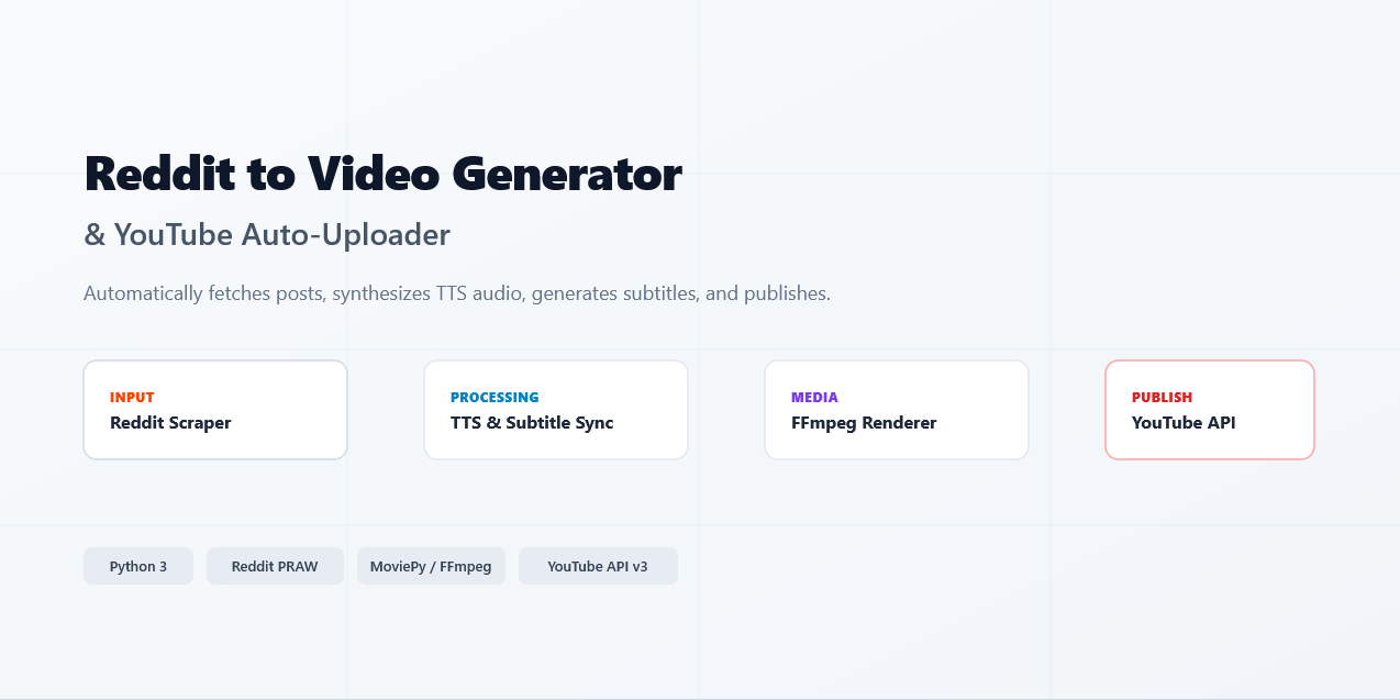
Automatic Reddit Text-to-Video Generator & YouTube Uploader
Automation system that converts Reddit posts into narrated, published YouTube videos.
⭐ 73