Mar 2025 – Sep 2025 · Aalto University
Comparative Analysis of Public Transport Carbon Emissions in the Helsinki Region (2017–2023)
PythonGISGeospatial Data ProcessingRouting AlgorithmsSpatial AnalysisEmissions ModellingData Visualization
Read Thesis ↗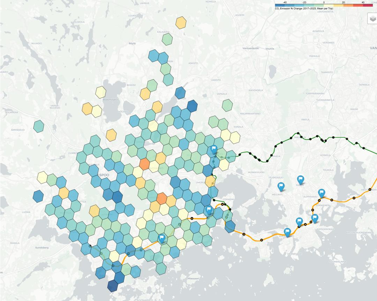
Developed a geospatial data-driven workflow to analyze changes in public transport-related carbon emissions in the Helsinki region between 2017 and 2023.
The project focused on commuting patterns from Espoo to major destinations in Helsinki and combined GIS-based routing, mobility datasets, and emissions modelling to estimate and compare transport-related carbon footprints over time.
The project demonstrates how open geospatial data and computational methods can support evidence-based decision-making for low-carbon urban transportation systems.
Highlights
- Designed a Python-based GIS pipeline for route computation, spatial analysis, and emissions estimation.
- Implemented routing workflows to identify realistic fastest public transport journeys under travel and walking time constraints.
- Analyzed origin-destination travel patterns between Espoo and key Helsinki locations, including Helsinki Central Railway Station, Pasila, and Leppävaara.
- Applied data filtering and outlier detection methods to improve reliability of emissions calculations.
- Visualized spatial and temporal changes in public transport emissions to support sustainable mobility planning.